DianaFauna & Flora
Open Diana

Free app for radio amateurs · WWFF

Find the area.See the boundary.Get on the air.

Diana is a free map app for activators and hunters in the WWFF programme. Everything you need for an activation or a hunt, on one map:

  • Nature areas with their real boundaries
  • Am I inside the area, and how far is the boundary?
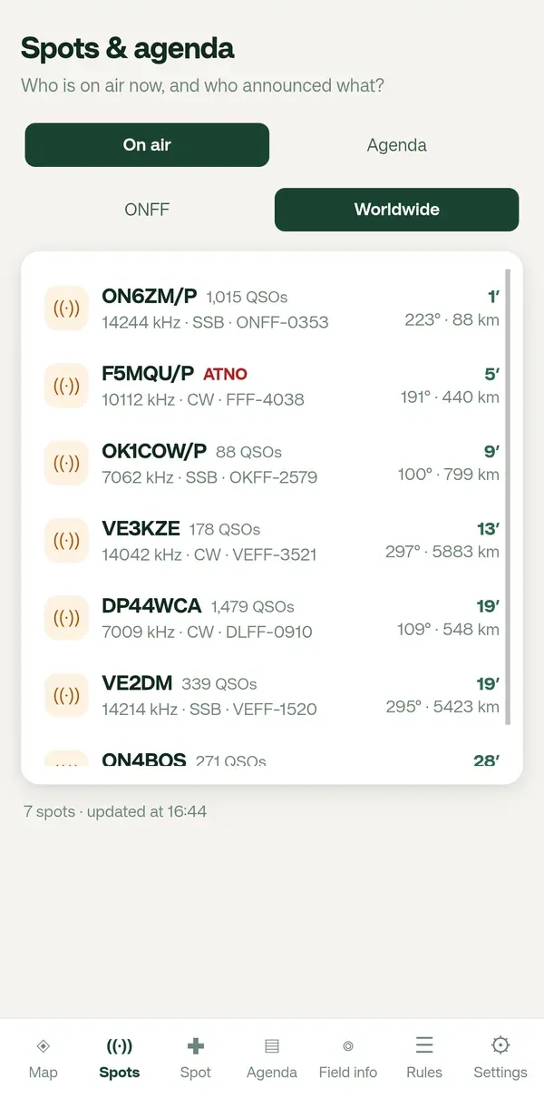
  • Who is on the air now, at home and worldwide
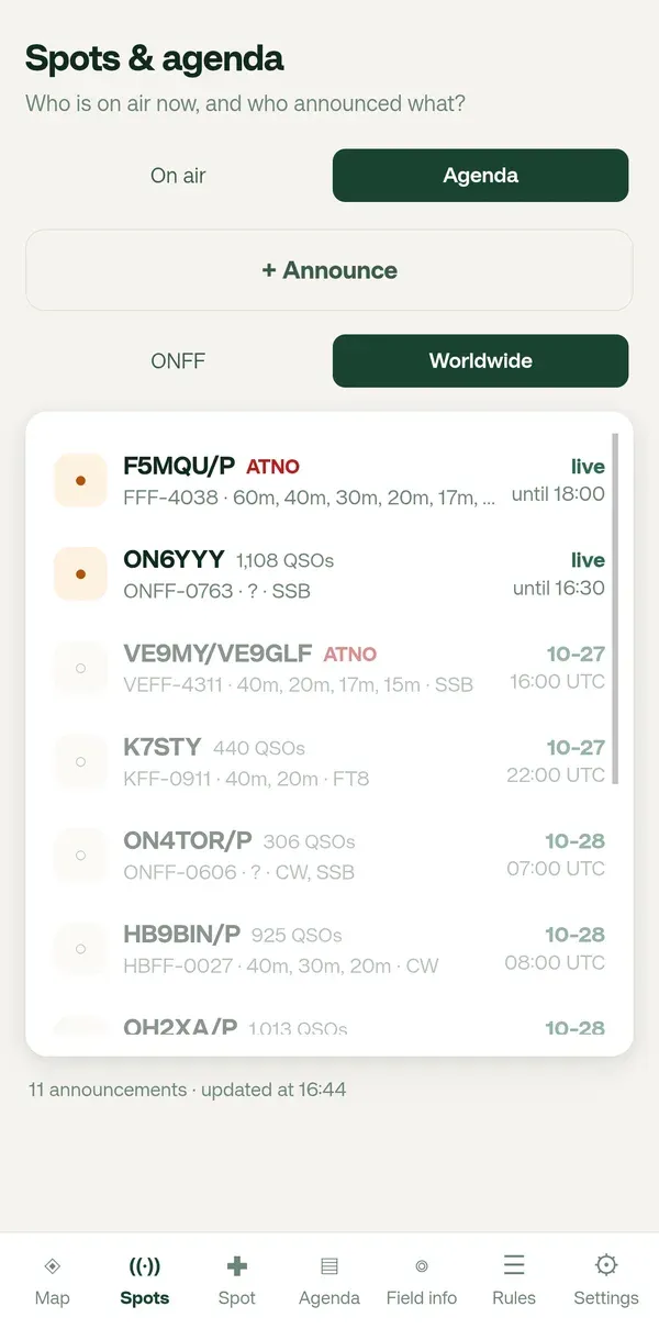
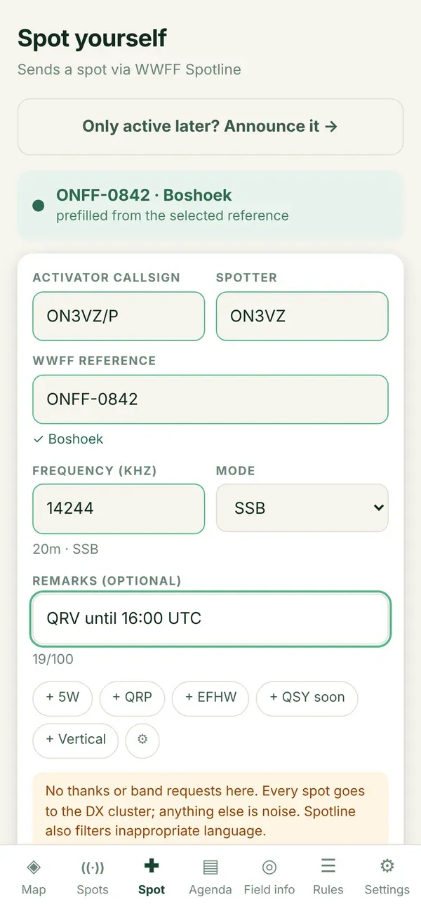
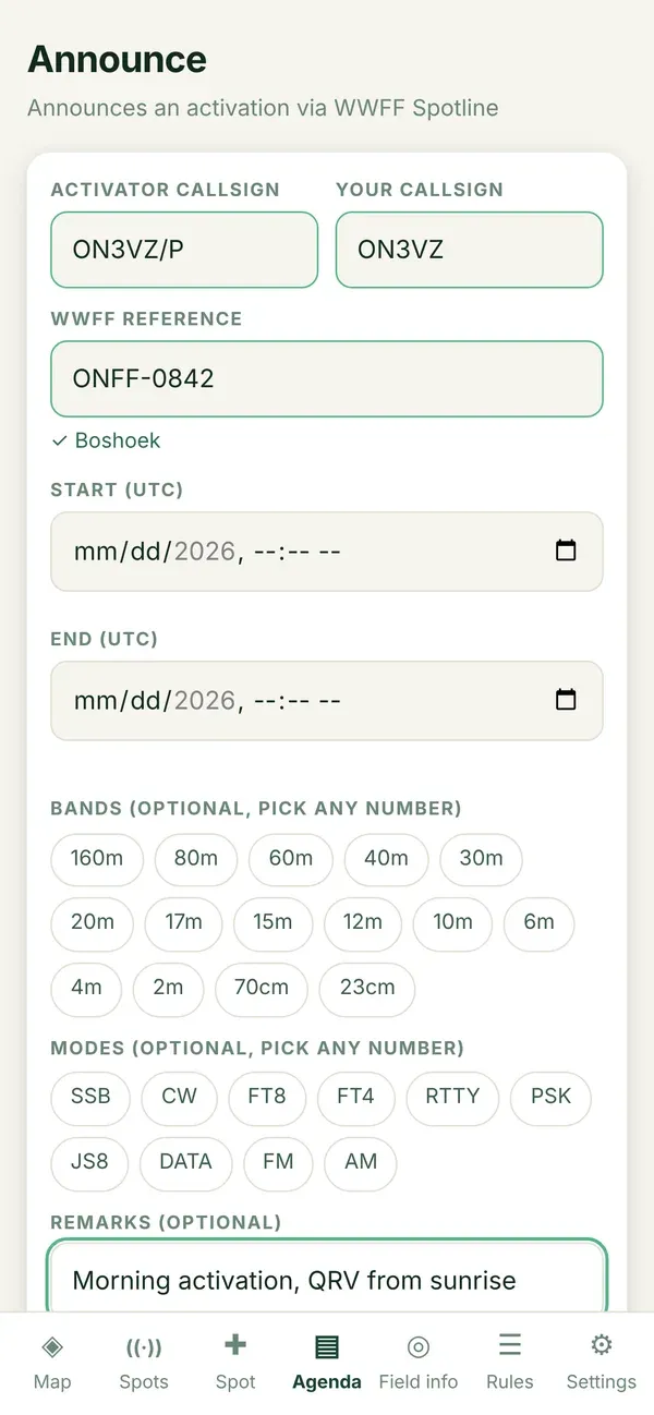
  • Spot yourself and announce your activation
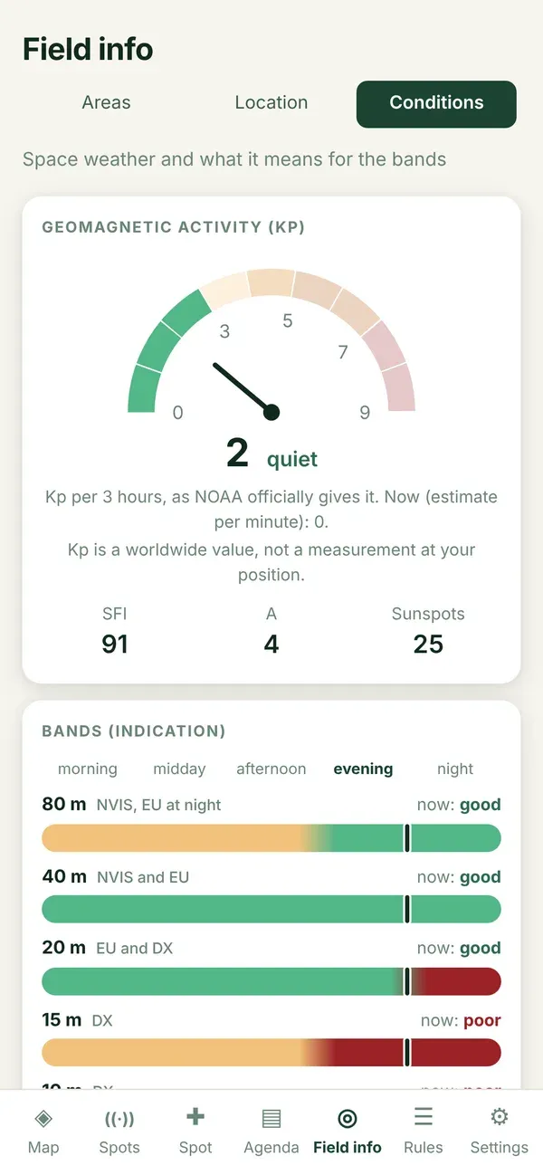
  • Band conditions and space weather for today
  • Locator, CQ zone and ITU zone of your spot
What
A web app for phone, tablet and computer. Installable, works offline too.
For whom
Activators in the field and hunters in the shack.
Context
Volunteer project around WWFF. Free, no account.
Diana, Spots screen: who is on the air now, with frequency, mode and reference
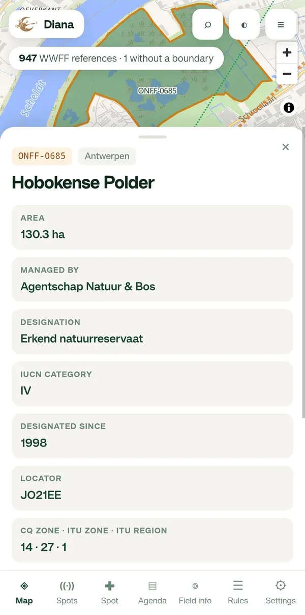
Diana, area panel of ONFF-0685 Hobokense Polder with area, manager and locator
Logo of WWFF, World Wide Flora & Fauna in Amateur Radio

The context

Made for WWFF, World Wide Flora & Fauna

In WWFF, radio amateurs take a portable station to protected nature areas and make contacts from there. Every area has a reference, such as ONFF-0685 in Belgium. Diana helps with the two questions that always come back: am I really inside the area? and who is on the air right now?

Diana is a volunteer project that supports the WWFF hobby. It is not an official WWFF service. Free, without ads, not for commercial use.

65,754
WWFF nature areas
worldwide on the map
180
WWFF programmes
from ONFF to VEFF
5
countries with real boundaries
and growing all the time
8
languages
app and user guide

Read live from Diana’s own nightly data build.

Pick your side of the pile-up

What Diana does for you

Activator

You head out with a portable station.

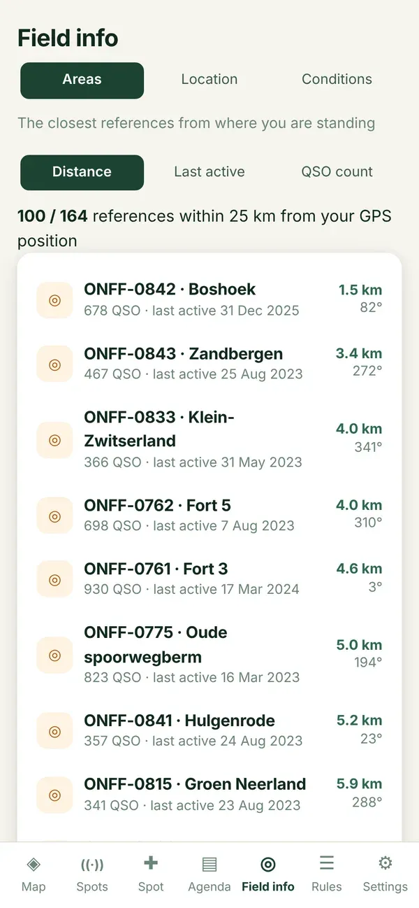
  • Find an area near you, with its real boundary
  • Know whether you are inside, and how far the boundary is
  • See which areas overlap
  • Spot yourself and announce your activation
  • Band conditions, space weather, locator and zones
Guide for activators

Hunter

You work the activators from home.

  • Live spots and announcements, worldwide too
  • Tap a spot: area, bearing and distance
  • See at once when a reference was never activated
  • QSO count and last activation per area
  • Every WWFF reference in the world on the map
Guide for hunters

An activation in four steps

From the armchair to the area

  1. 01

    Pick an area

    Find a reference near you. The real boundary is on the map.

  2. 02

    Check boundary and overlap

    Diana tells you whether you are inside, how far the boundary is and which areas overlap.

  3. 03

    Spot and call CQ

    Spot yourself from the area panel. The reference is already filled in.

  4. 04

    Keep your log

    With the file name WWFF asks for. Under Rules, Diana shows an example.

What Diana can do

Everything on one map

01 / 08

Reading the map

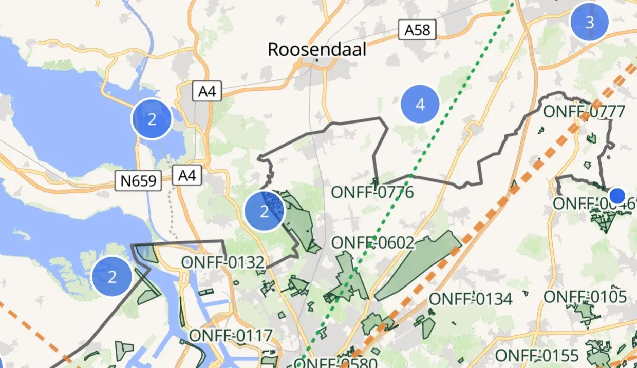
Areas with their real boundary, references from all over the world as points, and lines to whoever is on the air.

  • Green area: reserve with a real boundary
  • Blue dot: a reference in another country
  • Green dotted line: a station on the air now
  • Orange dashed line: an announced activation
Reading the map
Reading the map

Reading the map · swipe or tap a dot

Install

No app store needed, just an icon

Diana works straight away in your browser. Install it and you get an icon on your home screen, and it keeps working without signal with the last data it loaded.

Android

in Chrome

  1. Open diana-onff.github.io
  2. Tap the three dots ⋮ at the top right
  3. Choose Add to Home screen or Install app
Step by step, with screenshots →

iPhone and iPad

in Safari

  1. Open diana-onff.github.io in Safari
  2. Tap Share ⬆︎ at the bottom
  3. Choose Add to Home Screen
Step by step, with screenshots →

Computer

in Chrome or Edge

  1. Open diana-onff.github.io
  2. Click the install icon in the address bar
  3. Confirm with Install
Step by step, with screenshots →

Everything stays on your device. Your position is never sent to a server. Statistics only if you agree.

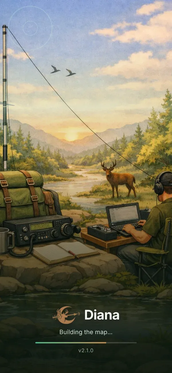
Start image of Diana: a portable station in the forest with a deer in the background

About the name

Why Diana?

Diana is the Roman goddess of the hunt and of the forests. That is exactly what WWFF is about: nature areas, and hunters chasing every new reference.

The deer with the bow in the logo refers to her. Made by radio amateurs, for radio amateurs.

Where the data comes from

Links and sources

References and QSO countsThe official WWFF directory, read again every night.
Spots and announcementsWWFF Spotline, live. Spotting yourself goes through Spotline too.
Area boundariesArea files from the national WWFF coordinators.
MapOpenFreeMap, built on OpenStreetMap.
Space weatherThe Kp index and solar data from NOAA.

User guide

Need help?

Prefer slides? The presentation as a PDF

Thousands of references are waiting.
Grab your radio and pick an area.

Open Diana