
Reading the map
Everything on the map has a meaning. This is the legend.
Areas and references
Section titled “Areas and references”| What you see | Meaning |
|---|---|
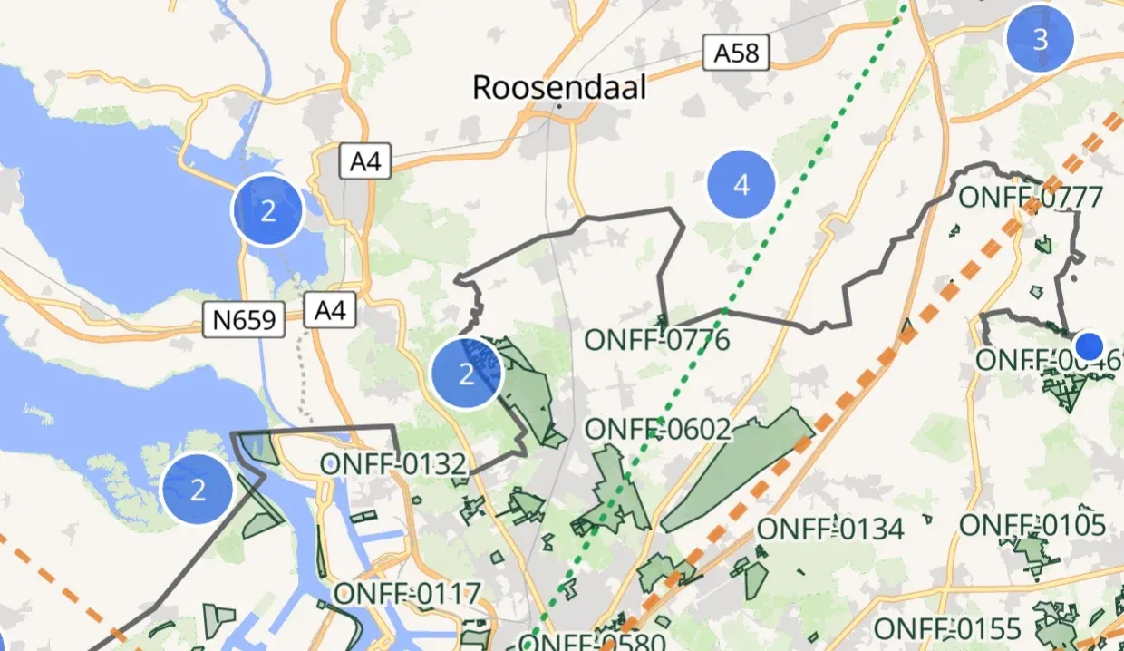
| Green area with a number | A reference with its real boundary, in your country. The number is the reference, for example ONFF-0602. |
| Orange outline | The area you just tapped. |
| Dashed ring with an orange dot | A reference of your country without a boundary: an approximate spot. |
| Blue dot | A reference in another country. |
| Blue circle with a number | Several blue dots close together. Tap it to zoom in; it splits apart. |
| Grey line | A country border on the base map. |
From zoom level 11 every dot gets its reference as a label.
Spots and announcements
Section titled “Spots and announcements”| What you see | Meaning |
|---|---|
| Green pulsing antenna icon | A station on the air now, with callsign, frequency and mode next to it. |
| Green dotted line | From you to a station that is on the air now. |
| Faded spot | A spot older than 30 minutes. |
| White dot with an orange ring | An announced activation from the agenda. |
| Orange dashed line | From you to an announced activation, labelled with callsign and time. |
| Your position | A marker. When your position is less precise than about 10 m, a dashed ring shows the margin. |
Why some references are areas and others dots: Points and areas.